A common misconception in the geophysics community is that radar technology is highly suitable in dry coarse-grained media, such as sands and gravels.
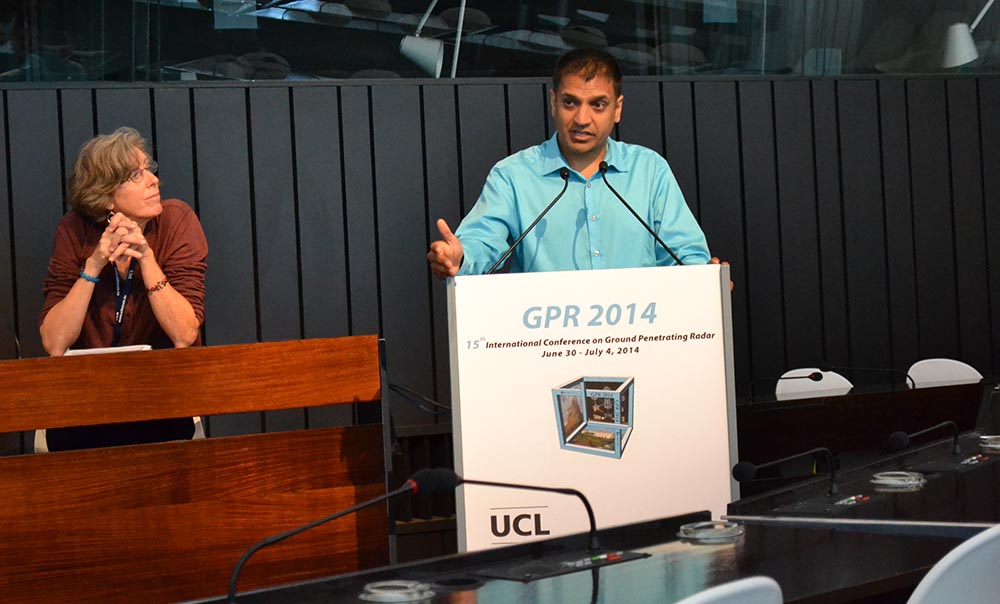
Groundradar’s experience in over 80 countries worldwide with GPR is contrary, with radar suitability in sands being a complex function of sand type, groundwater levels, sand provenance, and instrumentation used. A paper presented at the GPR2014 conference in Brussels examines the extreme variability in penetration and profile resolution evident between dozens of aeolian test sites scattered throughout the United Arab Emirates, collected using the same UltraGPR instruments in the same meteorological conditions. The paper discusses the cause of these variations.
Surveys on-going in Turkey and the Yukon
On-going surveys are being conducted by Pasinex Resources in Turkey and GroundTruth Exploration in the Yukon. The raw data are being sent nightly to Groundradar in Canada for processing, interpretation and deposit modelling.
UltraGPR used for mineral sands exploration at two sites in Brazil
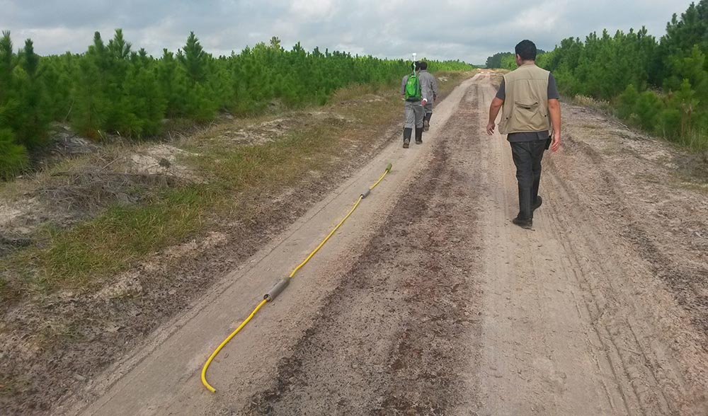
Groundradar, in conjunction with our Brazilian partners from Salvador, conducted a survey at a new mineral sands exploration site in Rio Grande do Sul. Penetration reached 60 m, beyond the depth required by the client. UltraGPR is being used in Brazil to map the base of sands as well as image the internal morphology of mineral sand bodies to map depositional facies and induration zones. Another mineral sands survey was conducted in Paraiba for a second client.
Well pads surveyed in the Highlands of Papua New Guinea with UltraGPR
Continuing with on-going work for multiple petroleum companies in PNG, Groundradar completed a survey of five new well pads in the Highlands of Papua New Guinea for karstic voids. Voids were detected to 33 m and the 3D models will be used to strategically position the well cellars and infrastructure.
UltraGPR deployed to Laos for bauxite exploration
Groundradar delivered multiple UltraGPR systems to Laos for use in bauxite exploration. Lateritic bauxite deposits are excellent radar environments when the correct instrumentation and processing is applied. Radar is able to map the depth of bauxite as well as the degree of bauxite blockiness rapidly, both of which are useful in designing strategic drilling programs.
UltraGPR used in Jamaica for void mapping beneath new housing development
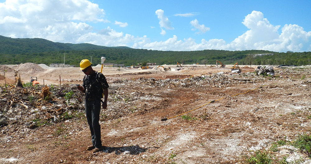
Groundradar’s Jamaican partners have completed a large project over a proposed housing development site to map karstic voids. A large number of voids were detected of various sizes during four days of field work. The resultant void plan maps and 3D models will be used by the developer to strategically place structures to minimise geotechnical risks.
UltraGPR deployed in the Yukon for alluvial gold exploration
GroundTruth Exploration has partnered with Groundradar to deploy UltraGPR technology on a variety of placer gold exploration projects throughout the Yukon. UltraGPR offers a dramatic improvement over consumer-grade GPR systems in extremely rugged conditions. Penetration depths to 40 m have been achieved through sediment containing some clays. Most importantly, large surveys have been completed rapidly, reducing costs to the end client.
Chapter by Francke on modern GPR instrumentation and applications published in Measurement, Instrumentation, and Sensors Handbook
Jan Francke has authored a comprehensive chapter on the applications and instrumentation of modern ground penetrating radar technologies in the 2nd Edition of the Measurement, Instrumentation, and Sensors Handbook. The Handbook has been published by the CRC Press and is available at Amazon and other sources. http://www.amazon.ca/Measurement-Instrumentation-Sensors-Handbook-Second/dp/1439848912/ref=sr_1_1?s=books&ie=UTF8&qid=1412620734&sr=1-1&keywords=9781439848913

Busy month of March with projects on three continents
Following another successful PDAC show in Toronto, Groundradar deployed UltraGPR to numerous projects worldwide, including the Yukon (alluvial gold), Jamaica (karstic voids), Laos (bauxite), and Papua New Guinea (karstic voids). In early April, a large production survey in Turkey at a zinc project will commence, as well as a series of trial surveys in Australia and Brazil.
Pasinex deploys UltraGPR in Turkey
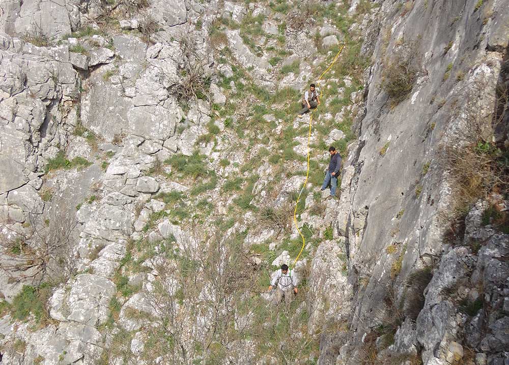
Following from a successful trial survey of UltraGPR for deep (80 m) zinc exploration in limestone, Pasinex has commenced planning for a large-scale survey at their properties in Turkey (http://pasinex.com/wp-content/uploads/2014/03/Akkaya-GPR-News-ReleaseMS.pdf). The project involves extensive surveying on extremely steep rocky slopes, often exceeding 50 degrees.