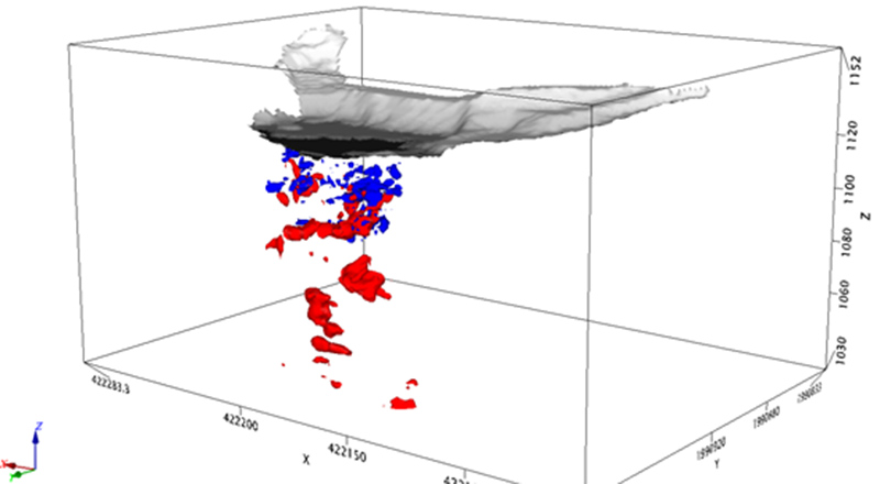
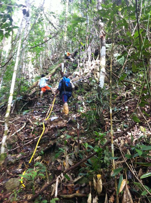
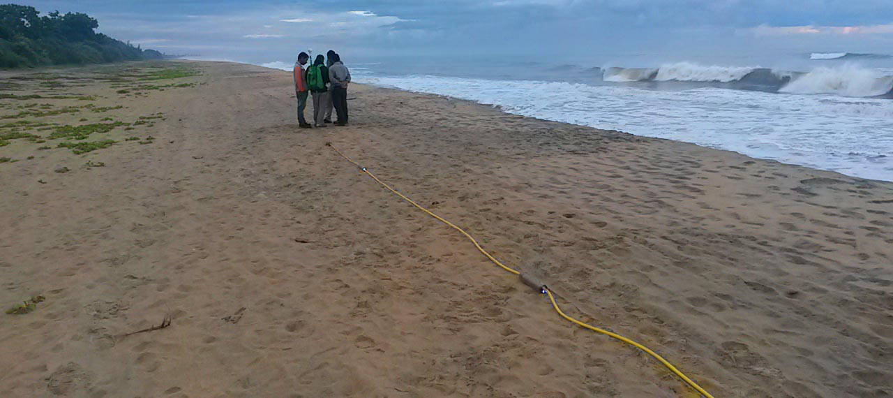
A granite quarry in Malaysia was surveyed using a high-frequency (80 MHz) UltraGPR system. The objective of the survey was to map the depth of a highly variable overburden over challenging terrain and through dense vegetation.

A granite quarry in Malaysia was surveyed using a high-frequency (80 MHz) UltraGPR system. The objective of the survey was to map the depth of a highly variable overburden over challenging terrain and through dense vegetation.
Jan Francke presented a paper on bauxite resource evaluations using geophysics at the International Committee for Study of Bauxite, Alumina & Aluminium’s meeting in Zhengzhou, China. The paper focused on the application of high resolution geophysics for volume calculations in lateritic and karstic bauxites, with examples from Brazil, Indonesia, Jamaica, Turkey, etc. The paper was entitled “New High-Resolution Geophysics for Bauxite Resource Evaluations”
UltraGPR was used to map karstic voids on a steep limestone hillside as part of a geotechnical investigation for mine infrastructure. The site consisted of a small levelled platform at the edge of a steep cliff. Previous surveys by Groundradar in 2013 at the site had demonstrated the ability of UltraGPR to map voids in site’s limestone to 80 m.

An UltraGPR survey has been conducted in Gabon by Core Geophysics for iron ore exploration. Excellent results were obtained and a larger follow-up survey is planned for later in 2014.
A paper was presented at the Ninth International Mining Geology Conference in Adelaide, Australia entitled “Using Ground Penetrating Radar to Enhance the Exploration-to-mining Value Chain”, authored by J Francke, D Smith and A Ramdhani. The paper may be downloaded from the AusIMM website: http://www.ausimm.com.au/publications/epublication.aspx?ID=15999
Core Geophysics of Perth has commenced a large nickel laterite exploration survey in Papua New Guinea. The site, which had been surveyed by Groundradar using consumer-grade Mala RTA instrumentation in 2007, is extremely remote and rugged. Frequent steep slopes, ravines and river crossings are encountered each day. UltraGPR performed flawlessly, being able to map the depth to rocky saprolite and bedrock throughout the project.

Two iron ore prospects and a nickel laterite project were visited in Madagascar by Groundradar. One iron ore deposit was a banded iron formation, whilst the second was primarily a detrital deposit. Groundradar also commenced a multi-year contract with Sherrtt for nickel laterite exploration and weathering sequence mapping at their Ambatovy project in northern Madagascar. As part of the visit, a local Madagascan company was trained on the use of UltraGPR.

Groundradar’s Brazilian partners, Geotec Estudos Geologicos Ltda have commenced a large bauxite exploration project in Salvador for a major mining client. The survey will entail up to 100 km of lines over rugged terrain – an application and environment ideally suited to UltraGPR technology. UltraGPR has been used in this vicinity for bauxite exploration since 2008.
A paper entitled “MineVue radar for delineation of abandoned mine galleries” has been published by the Indian Academy of Sciences in its Current Science journal (vol. 107, pp 181-183). The paper discusses the applications on intrinsically-safe radar for detecting abandoned workings ahead of a working face in underground coal mines in India. The paper stems from the MineVue technology developed by Groundradar and Utsi Electronics for a large CIMFR R&D project spanning 2008-2012. http://www.currentscience.ac.in/Volumes/107/02/0181.pdf
Groundradar has supplied multiple radar systems to engineering and geophysical contractors this summer for ground imaging applications in BC, Alberta and Saskatchewan, as well as on-going surveys in the Yukon for placer gold. Local staff are conducting surveys in remote locations and uploading data for Groundradar’s staff to process and interpret. By working closely with such partners, radar technology can be disseminated more rapidly, whilst ensuring that the technology is used in suitable environments for realistic objectives.