Groundtruth Exploration in Canada’s Yukon continues to employ UltraGPR technology for alluvial gold exploration. To date, over a dozen sites have been investigated using the method to map the position and depth of paleochannels in extremely remote locations. Although clay is present at some locations, over penetration has not been an issue, averaging over 20 m.

UltraGPR is being used in Jamaica for a large karstic bauxite exploration project. The project is expected to continue through 2015, over hundreds of hectares in full 3D coverage. The resultant models will be used to generate and update resource estimates.
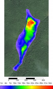
The Discovery Channel’s Gold Rush Yukon aired its Season 5 Special on February 27, 2015. The program featured work conducted by GroundTruth Exploration in the Yukon using UltraGPR technology to map bedrock profiles over rough terrain atop gold-bearing paleochannels. The entire show can be viewed here: https://www.youtube.com/watch?v=IYGaZXOGpqM
UltraGPR is discussed starting at 9:29 (http://www.youtube.com/watch?v=IYGaZXOGpqM&t=9m28s).
For the 10th consecutive year, Groundradar is at the PDAC in Toronto. The PDAC is the world’s most recognized mining exhibition and attracts over 25000 attendees annually. 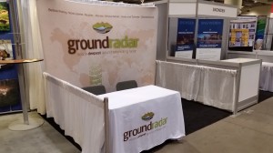
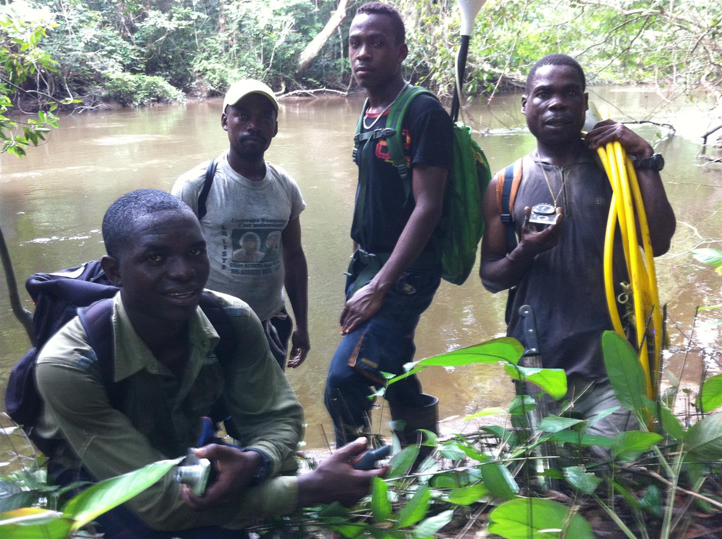
This year, UltraGPR technology has been used globally, in environments ranging from Canada’s Yukon to Papua New Guinea for a wide range of projects. In 2014, UltraGPR was used in Canada, the USA, Mexico, Jamaica, Cuba, Chile, Colombia, Brazil, Peru, the UK, Spain, France, Algeria, Gabon, South Africa, Madagascar, India, Saudi Arabia, Indonesia, Malaysia, Laos, Vietnam, Australia, and Papua New Guinea.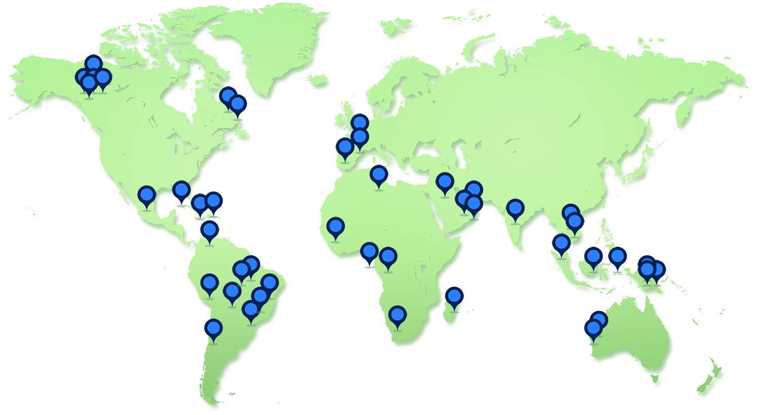
Groundradar’s Australian partners, Core Geophysics, has just completed a large survey in Gabon for iron ore. UltraGPR was used over extreme terrain to map a BIF-type deposit.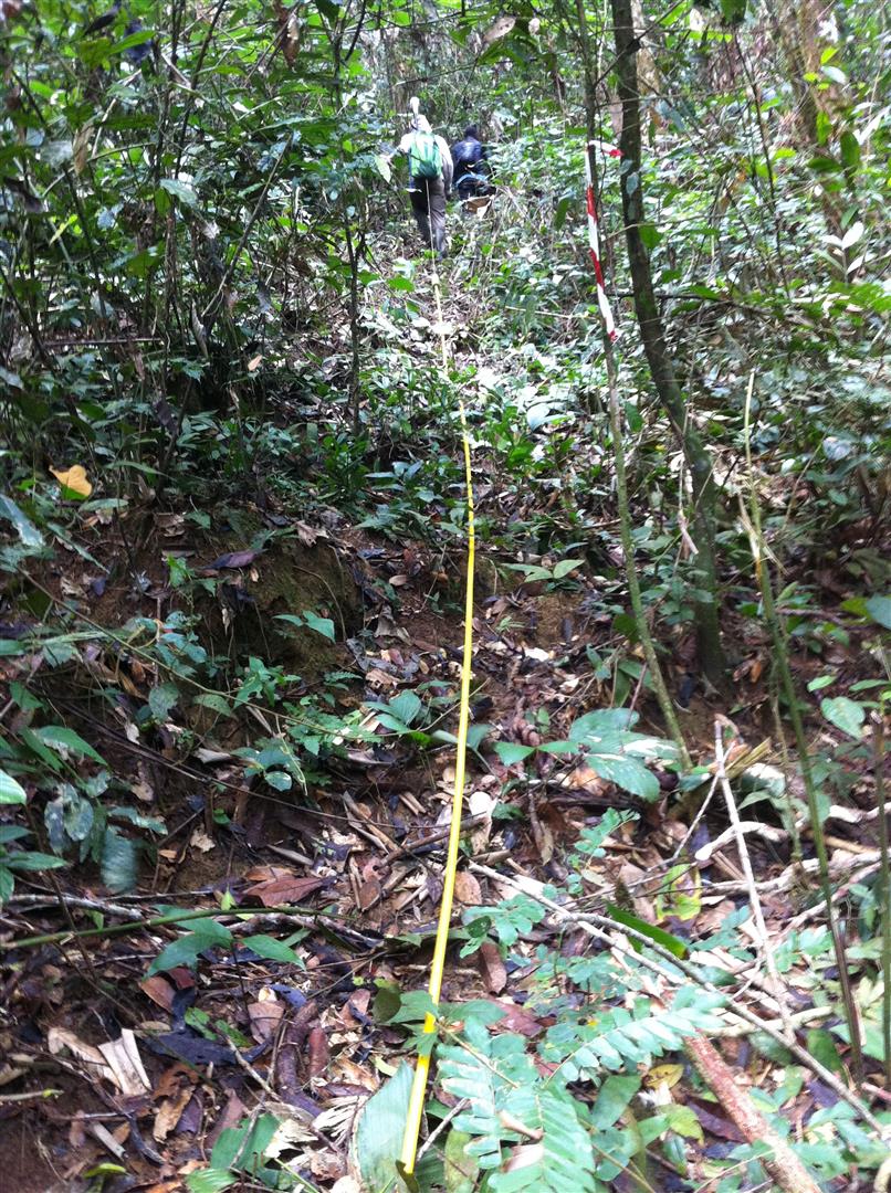
WorleyParsons Geophysics recently employed UltraGPR technology to map the bathymetry and sub-bottom geology of fast-flowing river in the Rock Mountain foothills of Alberta. The survey employed 30 MHz centre-frequency antennas housed in waterproof tubes, and was conducted by Paul Bauman, Chris Slater, Landon Woods and Alastair McClymont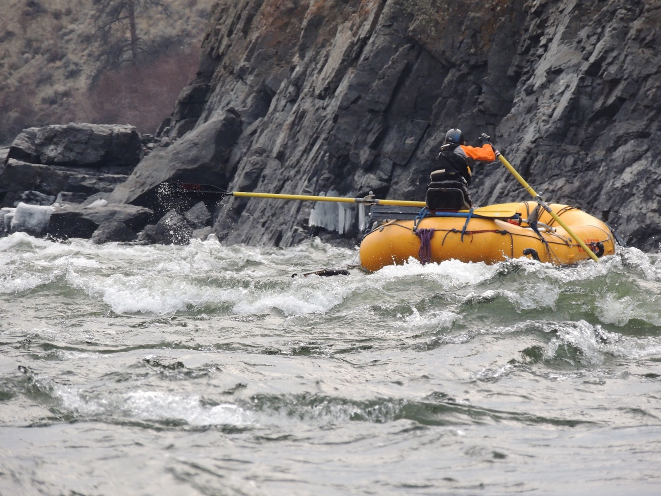
Groundradar tested a prototype of a long-range stepped frequency (20 MHz – 150 MHz) GPR instrument. Although the test conditions were challenging for the initial prototype model, the technology shows promising potential for future development. 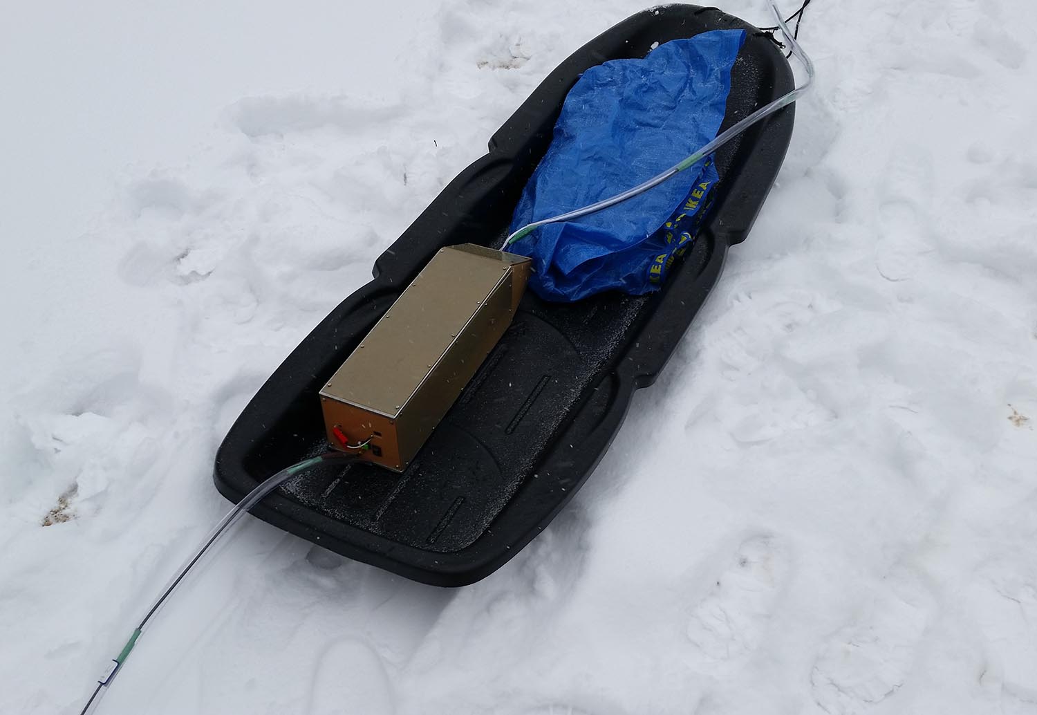
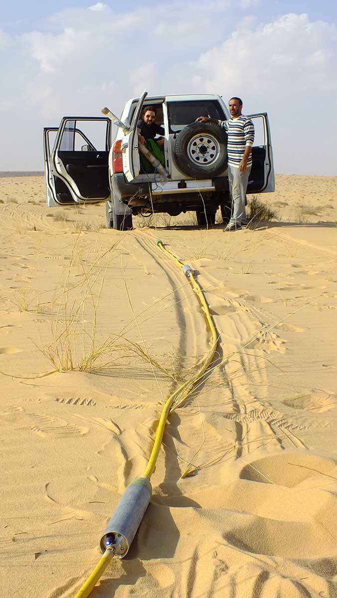
A team of researchers from King’s College London and Oxford University in the UK have used UltraGPR for a large survey of aeolian dunes in the An Nafud Desert of Saudi Arabia.

As part of a geotechnical investigation, Groundradar has conducted an UltraGPR survey in the Atacama Desert of northern Chile.


