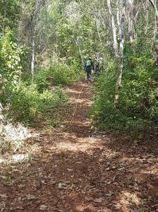
Following from early trials using older GPR systems in 1999 and 2003 by Groundradar, a recent re-visit has been made to the Cerro Matoso Mine in Colombia to trial the latest UltraGPR technology. The results were encouraging, and further field work is scheduled for July.
Dr. Francke will be presenting a paper entitled “Realistic Expectations for Deep Ground Penetrating Radar Performance” at the 26th Australian Society of Exploration Geophysicists Convention in Sydney, Feb 18 – 22. The paper will address recent marketing claims of extraordinary performance by megawatt radars which are entirely outside the bounds of accepted physics.

Groundradar conducted their first nickel laterite survey in Indonesia 21 years ago using now-obsolete equipment. Although the results were excellent, the survey required over one month to complete 50 km, with survey cut lines 5 m wide and perfectly clean. Today, UltraGPR can be used to survey the same distance in a few days with only a thin walking trail required. The demand for UltraGPR in nickel laterite exploration in Sulawesi Island has risen dramatically in the last year, with there now being a back log of projects to be conducted by Groundradar’s Indonesian team.

Example from UltraGPR Survey near Kendari, Sulawesi, Indonesia of Nickel Laterite deposit
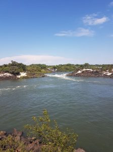
Groundradar visited Zambia to conduct a series of UltraGPR surveys over the Zambezi River in relation to a proposed hydroelectric project. The remote site presented significant logistical challenges, including rapids, numerous hippopotamuses, submerged rocks, etc.
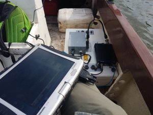
Groundradar successfully conducted an extended trial survey of radar technology over a series of heavy mineral sand deposits in Tanzania. Penetration to well over 60 m was achieved in the clay-rich sands, with the ability to map the base of sands, as well as thin induration zones near the surface. In some areas, it appears that the radar was able to map the sand layer more consistently than drilling.
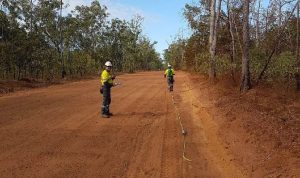
Groundradar and its Australian (Core Geophysics) and Indonesian (Danmar ExplorIndo) partners have conducted a series of large surveys for alluvial paleochannels in the vicinity of RioTinto’s Argyle diamond mine in Western Australia. The surveys were successful in imaging paleochannels as well as lenses of thick gravels.
Groundradar’s Australian partners, Core Geophysics, has undertaken a series of extensive surveys in rural Western Australia to map paleochannels anticipated to contain diamonds for POZ Minerals. POZ has published an excellent video explaining the exploration program using UltraGPR here: https://www.youtube.com/watch?v=UeTNv5scIJU. The video also discusses failed attempts using consumer-grade radar systems to map the paleochannels.
The Decennial Mineral Exploration Conference, known as Exploration’17, was held in Toronto, Canada from October 21-25, 2017. Groundradar was a conference sponsor, and Dr. Francke presented two papers and a poster session. The first paper was presented within the Geophysical Technical Innovation Session and was entitled “Extending the limits of GPR Penetration.” The paper can be found here: http://www.dmec.ca/getattachment/73c42db0-b6e6-4f7b-867f-7c4b637b4522/Resources/Exploration-17/Extending-the-limits-of-GPR-penetration.aspx. This presentation was recorded and can be viewed here: https://youtu.be/68l7IRQ8o1Y. The second paper was on advances in GPR technology, whilst the poster presentation focused on debunking myth
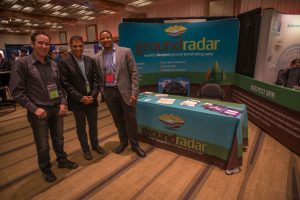 s on extraordinary GPR performance claims.
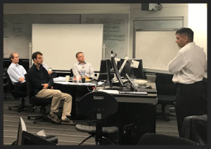
Groundradar is proud to partner with Prof Jim Macnae of RMIT in Melbourne on an AMIRA project to develop an advanced next-generation GPR technology for mineral exploration. “Multispectral Ground Penetrating Radar” kicked off at a meeting in Melbourne, attended by the project sponsors: Rio Tinto, BHP, Vale, First Quantum Minerals, Newcrest, and South32. More information on the project may be found here: http://www.amira.com.au/WEB/site.asp?section=newsandevents&page=newsarticles/201711-Newsflash
A large heap leach dump from a historical silver mine was the subject of an UltraGPR trial conducted by Groundradar. The results were disappointing due to the apparent high conductivity of the rock pile. Although the pile is essentially coarse-grained gravels, it is speculated that a significant degree of salinity likely exists due to the leaching process which prevented sufficient radar penetration.


 s on extraordinary GPR performance claims.