Groundradar conducted a recent demonstration of UltraGPR at an alluvial gold prospect in southern Peru with UltraGPR.
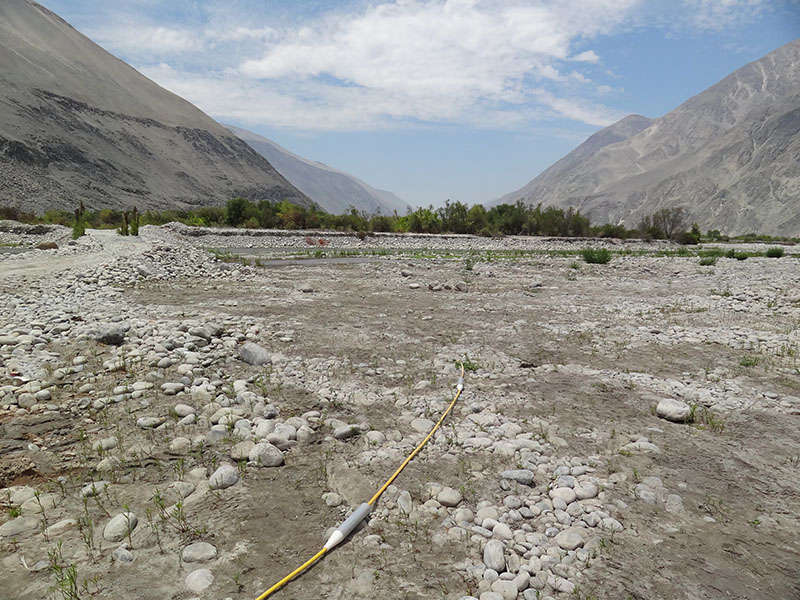

Groundradar conducted a recent demonstration of UltraGPR at an alluvial gold prospect in southern Peru with UltraGPR.

Adding to its growing list of countries, Groundradar recently visited a site in Armenia to map the depth to bedrock with UltraGPR. Portions of the site proved unsuitable for radar due to high conductivity, although penetration to 30 m was achieved elsewhere.
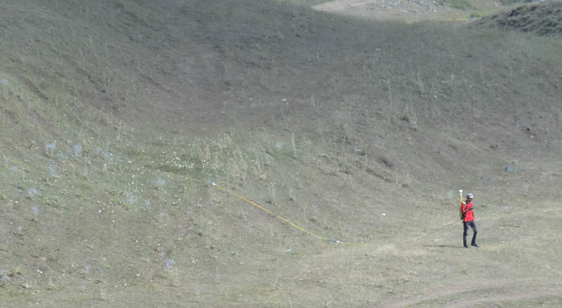
With the rapid growth in demand for long-range radar, Groundradar is currently conducting surveys in Saudi Arabia, Tanzania, Brazil, Jamaica and Papua New Guinea. Upcoming projects will be located in Armenia, Russia, Guinea, Zimbabwe, Papua New Guinea, New Zealand, Brazil, and Canada.
Jan Francke of Groundradar will be presenting three papers at the GPR2012 Conference being held in Shanghai, China next week. “The Design of an Intrinsically Safe GPR for Underground Coal Mines,” co-authored with V. Utsi and K.K.K. Singh, discusses the technical feasibility of designing what became the MineVue project, recently commissioned for the Indian Government. “Radar Suitability in Aeolian Sand Dunes – A Global Review,” co-authored with D. Tatum, summarises work with long-range radar for developing seismic static solutions and building reservoir analogies in sand dunes located in Wales, Libya, Algeria, Namibia, South Africa, Australia and Brazil. “The Role of GPR in Bauxite Resource Evaluations” discusses the application of long-range radar to bauxite exploration, with case studies from Turkey, the USA, Australia, Brazil and elsewhere.
A recent visit to Laos to map bauxite and UXO locations has been conducted. With the addition of this latest country, Groundradar has conducted GPR projects in a total of 73 countries worldwide, far more than any other near-surface geophysical service company.
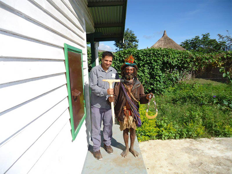
With on-going work related the oil and gas, as well as mineral exploration sector, Groundradar has been making monthly visits to PNG. Over the past year, Groundradar has conducted nine projects in the country, for applications ranging from void mapping in limestone to nickel laterite exploration and geotechnical problems.
Following a four year research and development phase, Groundradar has successfully delivered and installed the first ATEX-approved MineVue system to the Central Institute for Mining and Fuel Research in Dhanbad, India. The project is one of the largest ever undertaken for the development of a commercial GPR system in the world, and produced the world’s first low-frequency ATEX approved radar. It is expected that further installations in India will be forthcoming, based on the success of the first unit.
MineVue was deployed to New Zealand to map underground workings at coal mines on the South Island. The overburden atop the coal strata presents a challenging environment for radar due to the occurrence of conductive siltstones. Although penetration was less than expected, clear targets were defined to follow-up drilling.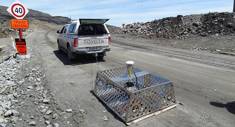
The map shows all travel conducted to and from GPR projects worldwide by Groundradar staff over the past 12 months (August 2010 – August 2011). In total, nearly 400,000 miles were flown during the period, landing in 39 countries.

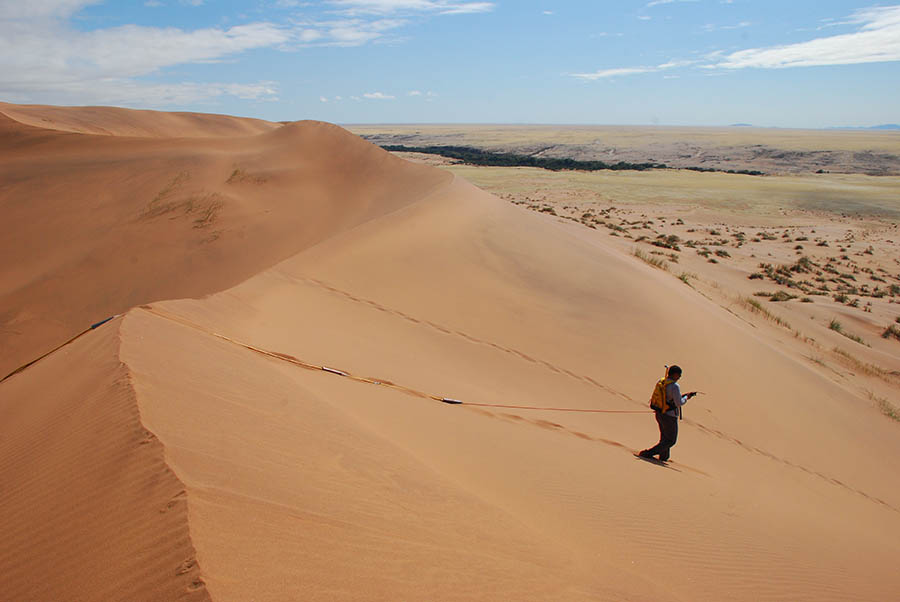
Groundradar has just returned from an R&D project in Namibia, where UltraGPR was used to profile various dune forms as part of an on-going research project using radar to construct petroleum reservoir analogies. Dune 45, a star dune near Sussusvlei, is known as the “world’s most photographed dune” and has been a default wallpaper on Microsoft Windows (98, XP, Vista, 7). The radar profile shows the base of the dune to 70 m. The profile was acquired along a ridge of dune, resulting in unremarkable internal structures. The Sussusvlei dunes are believed to be amongst the tallest in the world.
