Groundradar will again be at booth 702 at the PDAC in Toronto, Canada. The convention will run from March 2nd to 5th and is the world’s premier mining show. Groundradar staff will be on hand to discuss the latest application of long-range radar in the mining industry
All posts by Groundradar
Record year for travel – 330,000 miles
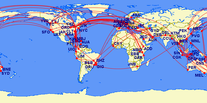
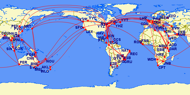
Groundradar staff traveled over 330,000 miles for GPR projects during 2013, a record year for flights. A total of nearly 200 individual flight segments were flow on 42 airlines across every continent, each whilst carrying various GPR systems to remote project sites ranging from Papua New Guinea to Guinea in Africa. The map below maps out each flight segment taken during 2013 for projects. The map shows that most projects were conducted in South America and SE Asia, with Europe being a common transit point.
Groundradar conducts survey in Africa’s most unusual country
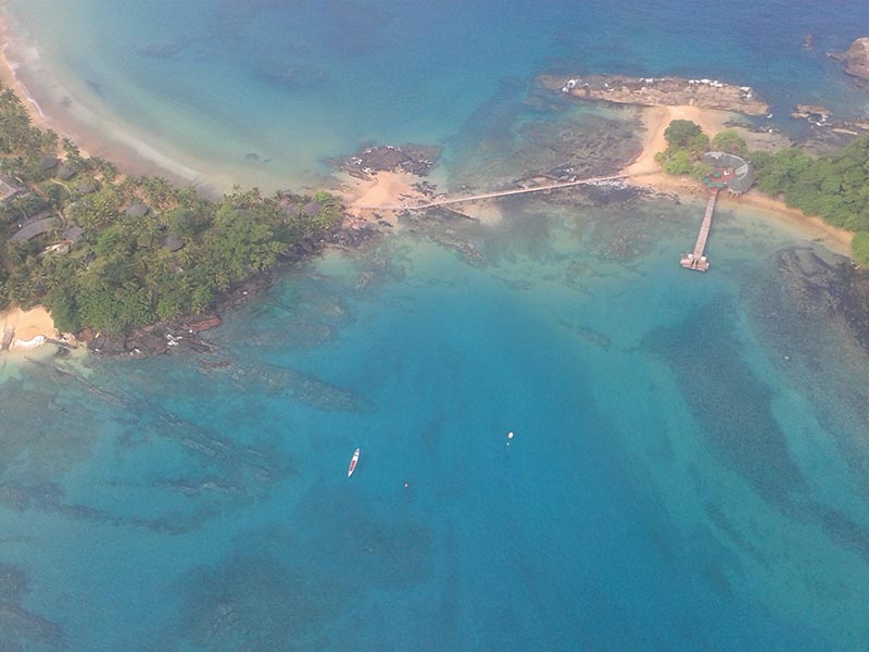
Groundradar recently completed a geotechnical project in what may be Africa’s most unusual country – São Tomé and Príncipe. The project, on the island of Príncipe, involved a 3D scan of a runway under construction. The island rivals other tropical paradises which Groundradar has worked in for beauty. Unfortunately, the project site was no where near the beach!
Groundradar surveying in five continents concurrently
The second half of 2013 has been particularly busy for Groundradar, with large surveys being undertaken at the same time in diverse locations, including Brazil, Indonesia, South Africa, Australia and Canada. Data are fed back to Groundradar’s Processing Centre in Canada for analysis, interpretation and modelling. The output 3D models are returned to the clients, usually within 48 hours, in 3D DXF or other suitable formats for incorporation into Surpac, Datamine, etc.
UltraGPR migrates to Android
Rather than be limited by large data loggers or laptop computers, UltraGPR has always relied on handheld data recording devices. Groundradar has recently developed an Android app to control the UltraGPR, record data from UltraGPR, Differential GPR (or RTK), and additional sensors. The app runs on a custom waterproof and shockproof datalogger which easily fits into a pocket. The software was specifically designed for ease of use, and relies on spoken voice prompts and warnings to allow completely hands-free use during surveying. The datalogger also has the ability to capture DGPS-tagged photographs. As before, the datalogger is entirely wireless, using Bluetooth and WiFi communication with the GPS and radar.
Groundradar conducts additional surveys in Saudi Arabia
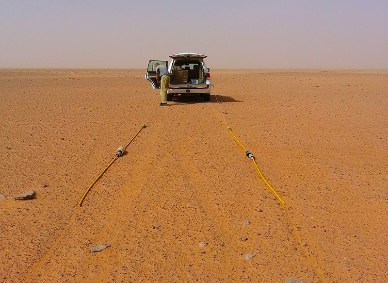
Using UltraGPR towed behind a vehicle at speeds of up to 25 km/hr, Groundradar recently conducted a large mineral resource exploration project in a remote part of Saudi Arabia. The results closely matched existing drilling information, with coverage over an area extending 30 km X 5 km.
Groundradar provides mine in Dominican Republic with on-going radar surveys
Groundradar has signed a deal with a mine in the Dominican Republic to use UltraGPR technology on an ongoing basis to map karsts in limestone to depths exceeding 75 m. Surveys may be conducted monthly, ahead of mining operations to ensure any voids are mapped initially by radar and confirmed by drilling and laser scanning.
2013 commences with dozens of large projects worldwide
In the first two months of 2013, Groundradar has conducted large surveys in Brazil, Laos, Saudi Arabia, Tanzania, along with on-going visits to Papua New Guinea. The majority of projects have involved iron ore, bauxite and laterite exploration surveys, although there have been a growing number of projects for deep limestone karst applications.
Groundradar staff traveled over 300,000 miles in 2012
The map below shows Groundradar staff’s travel during 2012 for GPR projects worldwide. The majority of the projects were undertaken from Groundradar’s bases in the Canada, the UK and Australia, visiting dozens of countries with over 160 individual flight segments.
Groundradar visits DRC for geotech surveys
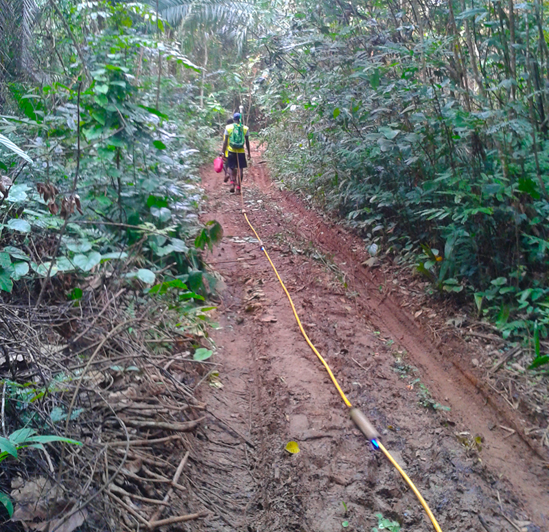
Groundradar recently visited a AngloGold project in the DRC to conduct a depth to bedrock survey for a tailings storage facility project. The survey was conducted through dense jungle vegetation over rough terrain, with excellent penetration through the laterite soil.
