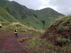
Groundradar has had extensive experience around the Mt. Nimba iron ore deposits in Guinea and Liberia, having used UltraGPR in 2011-2012 to map detrital canga deposits to over 60 m. A new project will use UltraGPR to map BIF occurrences in the region and is expected to continue for two months.

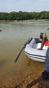
Following from extensive work within the Sewa River conducted by Groundradar in the late 1990s through 2001, 2003, 2004 and 2008, Groundradar has commenced a large survey using UltraGPR technology within the Sewa River to map potholes, the thickness of gravel beds and the presence and thickness of hardpans with the active river channel.
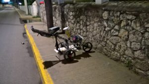
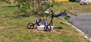
Groundradar’s partner in the Caribbean, Geo-Edge Jamaica, has completed a large utilities detection project along the famous “Hip Strip” through downtown Montego Bay. The survey used a multi-channel GPR system to map utilities and pavement structure to depths over over 2.5 m in 3D using differential GPS.


