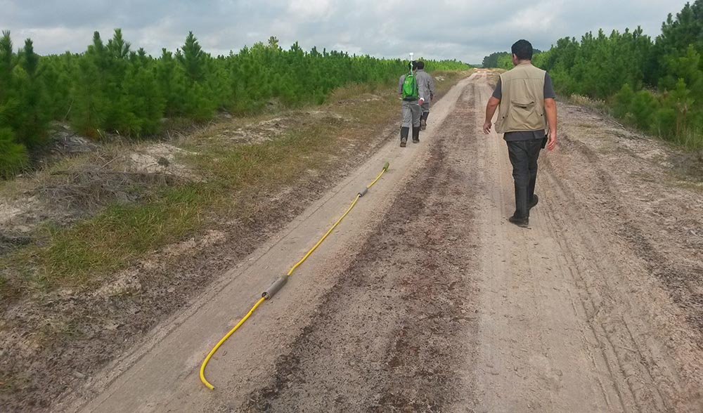
Groundradar, in conjunction with our Brazilian partners from Salvador, conducted a survey at a new mineral sands exploration site in Rio Grande do Sul. Penetration reached 60 m, beyond the depth required by the client. UltraGPR is being used in Brazil to map the base of sands as well as image the internal morphology of mineral sand bodies to map depositional facies and induration zones. Another mineral sands survey was conducted in Paraiba for a second client.

